Product Information
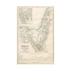
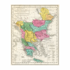
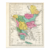
Dated 1821, including the places celebrated for battles and Sieges intended for the elucidation of Lavoisne’s genealogical, historical chronological, and geographical atlas by C Gros. With hand-colored accents and highlights. The map includes the area of Asia Minor, Bulgaria, Bosnia, Croatia, and Italy. The map shows Longitude and Latitude lines and includes the Mediterranean sea and the Black Sea.
Dimensions
The sheet measures 9 x 7.70 inches.
Condition
The sheet displays toning and mounting tape residue on the sheet’s edges. The sheet displays light creasing in the margin edges.