Product Information
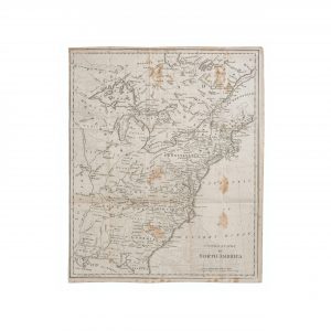
The William Tryon Map of New York Country of the VI Nations is a historically significant cartographic representation, dedicated to His Excellency William Tryon Esqr., the captain general and governor in chief of the province of New York. Inscribed by Guy Johnson in 1771, the map portrays the territories governed by the Six Nations proper, along with parts of the neighboring colonies. This particular rendition was produced in 1851, as a replica based on the original manuscript map from 1771. It serves as a valuable artifact for understanding the political and territorial landscape of the Six Nations and the surrounding regions during that time.
Dimensions
The map has toning and wrinkles on the paper, with pin holes in two corners and a small scape across the upper left edge of the sheet.
Condition
The map has toning and wrinkles on the paper, with pin holes in two corners and a small scape across the upper left edge of the sheet.